
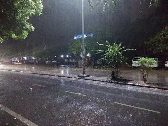
New Delhi, October 30: A spell of rain and cloudy weather brought a noticeable change in Delhi’s temperature this week, making Thursday the coldest October day in the capital in four years. The maximum temperature at Safdarjung, Delhi’s base weather station, settled at 25.4°C on October 29, around 5.6°C below the seasonal average.
The drop followed a day of much warmer conditions. On Wednesday, the maximum temperature had reached 31.8°C. Thursday’s reading was therefore 6.4 degrees lower. The last time Delhi recorded a lower maximum temperature in October was on October 8, 2022, when the mercury had fallen to 23.4°C.
The change was linked to the interaction of a western disturbance over the Himalayan region and the weakening weather system associated with Cyclone Arnab. Moisture brought into the region, along with cloud cover, contributed to rainfall and a fall in daytime temperatures across parts of northern India.
Rainfall varied across Delhi
Rain did not fall equally across the capital. While several areas experienced light showers, some localities received heavier rainfall. According to the Hindustan Times report, Jharoda Kalan in southwest Delhi recorded 53 mm of rain, while Pitampura received around 6 mm up to 8.30 pm on Thursday.
Safdarjung, meanwhile, recorded only 0.9 mm of rainfall during the same reporting period. The difference in readings reflects how scattered the showers were across the city. Residents in some neighbourhoods experienced wet roads and a spell of rain, while other parts received very little precipitation.
Clouds remained over Delhi for much of Thursday, with rainfall becoming more noticeable during the afternoon and evening. The weather also brought relief from the warmer daytime conditions that had continued in the capital earlier in the week.
The minimum temperature, however, did not fall along with the maximum. Safdarjung recorded a minimum of 19.2°C on Thursday, which was 3.5 degrees higher than the previous day and 3.1 degrees above normal. Cloud cover can limit the loss of heat from the ground during the night, keeping minimum temperatures relatively high even when daytime temperatures fall.
More rain forecast for Friday
The India Meteorological Department (IMD) has forecast another spell of rain and thunderstorms in Delhi on Friday, October 30. Its city forecast indicated generally cloudy skies, with very light to light rain at many places and the possibility of moderate rain at isolated locations. Thunderstorms and lightning were also expected during the morning and forenoon.
The intensity of rainfall is likely to be lower than Thursday’s in the city, according to Mahesh Palawat, vice-president of meteorology and climate change at Skymet Weather. He said the interaction between Cyclone Arnab and the western disturbance was responsible for the recent change in weather. He also indicated that skies are expected to clear from Saturday.
With the weather system moving away, daytime temperatures may begin to rise again over the weekend, while night temperatures could gradually fall. The IMD forecast for Saturday points to partly cloudy skies, with no warning issued for the day.
Air quality sees some improvement
The rain also brought a temporary improvement in Delhi’s air quality. The city’s average Air Quality Index (AQI) stood at 222 at 4 pm on Thursday, placing it in the ‘poor’ category. By 10 pm, the reading had improved to 197, which falls in the ‘moderate’ category, according to the Central Pollution Control Board’s bulletin.
The improvement came even as farm fires continued to be reported in neighbouring Punjab and Haryana. Satellite data recorded 157 farm fires on Thursday. The cumulative number of such fires between October 1 and October 28 had reached 905.
Weather conditions can influence how pollutants spread and remain close to the ground. Rain and stronger winds may help clear some pollutants from the air, but the improvement does not necessarily mean that the seasonal pollution problem has ended. Air quality can change again as weather conditions shift and farm-fire activity continues.
Temperature drop also felt in neighbouring states
The change was not limited to Delhi. Several locations in Haryana and Punjab also recorded lower maximum temperatures on Thursday. Karnal in Haryana registered a maximum of 20.6°C, around nine degrees below normal, while Ambala recorded 23.8°C. In Punjab, Patiala recorded 27.4°C, about three degrees below its seasonal average.
The IMD has also forecast thunderstorms and rainfall in parts of northern India. The weakening of Cyclone Arnab and its interaction with other weather systems have affected conditions across several states, although the amount of rain and its impact differ from one region to another.
For Delhi residents, Friday is expected to bring another cloudy spell, with the possibility of rain during the first half of the day. The more settled conditions forecast from Saturday could bring a gradual rise in daytime temperatures. The recent fall, however, has already given the capital an unusually cool October day, something not recorded at Safdarjung since 2022.